


NT2 Sites Map


Hello World …
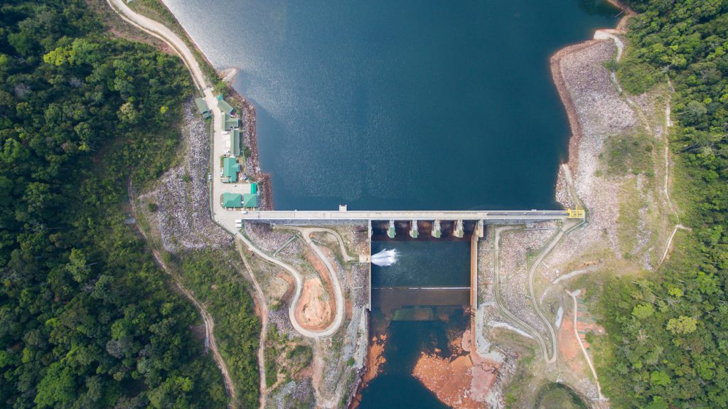 Nakai Dam
Located at Phonesaard village, Khamkeut district, Bolikhamxay province
length: 439m
height: 39m
Type: RCC(Rolled Compacted Concrete)
Spillway type: 5 Radial gates
Spillway capacity: 7000m3/s
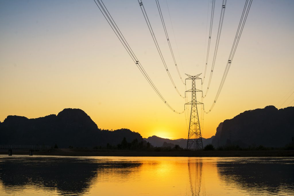 Transmission lines
-500KV line (to Thailand)
139km long double circuit to Savannakhet and Mekong crossing
-115KV line (to Lao PDR)
30km long double circuit line to Mahaxay
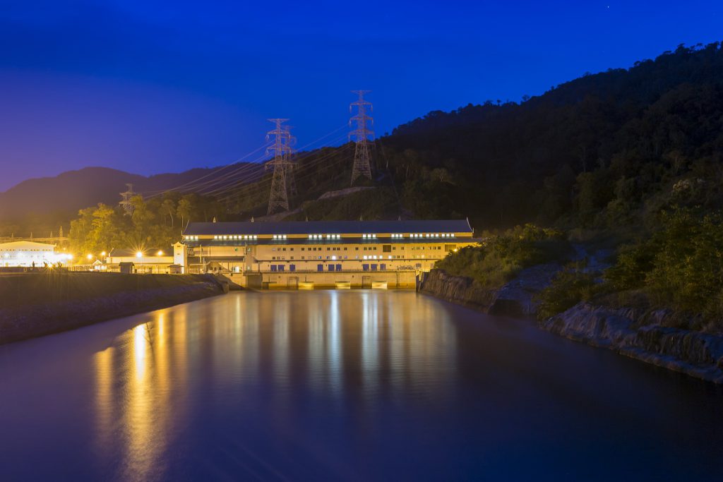 Nam Theun 2 Power House:
Sangkeo Village, Gnommalath District, Khammouane Province
Installed capacity: 1,080 MW
Average annual energy produced: 6,000 GWh
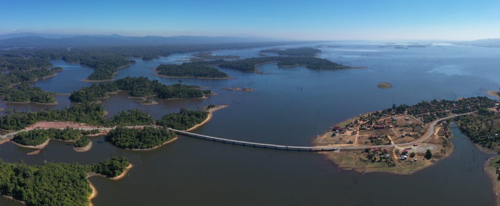 Nam Theun 2 reservoir:
 Catchment area: 4,013km2
Surface area: 450km2
Storage volume: 3.53 billion m3